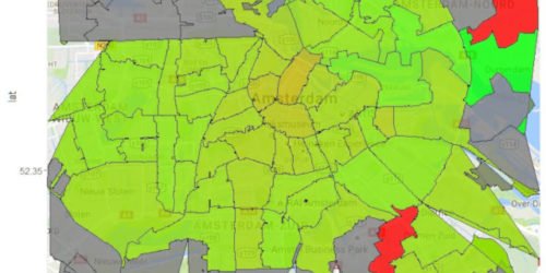
Combine Google Maps and Choropleth shapefile
Sometimes the best way to visualize your information is by plotting it on an map. But what if the information you want to show isn’t a point on a map but a shape, like a neighbourhood? Well, that’s when you use a choropleth, which you can create using a shapefile (look for ESRI shapefiles on […]